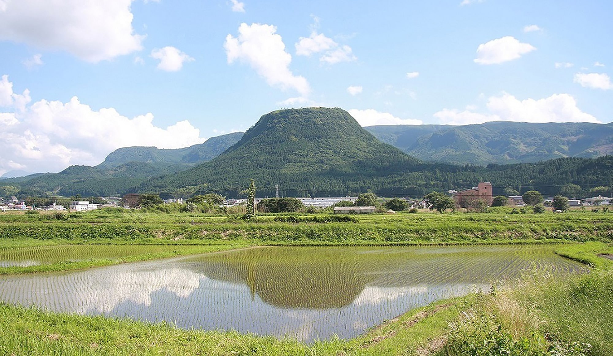
「豊後国風土記」によると、玖珠という地名は、かつてこの地に存在した大きな楠の樹にちなむものとあります。玖珠町で最も有名な「伐株山伝説」の舞台である伐株山の山頂からは、テーブルマウンテンに囲まれた玖珠盆地が一望でき、遠く中津市の八面山まで望める眺望は吉田初三郎の鳥瞰図そのもののようです。
SPOT
伐株山 (きりかぶやま、Mt. Kirikabu)
CONTETS
大地の鼓動に耳を澄ます / 玖珠盆地と伐株山
ADDRESS
大分県玖珠郡玖珠町山田 Google Maps
TEL
According to the Bungo Fudoki, the area was named Kusu after a large camphor tree, called “kusu” in Japanese, that used to be there. Kusu’s most famous version of “The Legend of Mt. Kirikabu” takes place on the peak of the mountain, from where there is a magnificent view of flat, table-like mountains framing the Kusu Basin with Nakatsu’s Mt. Hachimen also visible in the far distance. The stunning scenery is reminiscent of Hatsusaburo Yoshida’s bird’s-eye view maps.
SPOT
Mt. Kirikabu
CONTETS
The Sound of Life Beating Through the Earth / Kusu Basin and Mt. Kirikabu
ADDRESS
Yamada, Kusu, Kusu District, Oita Prefecture Google Maps